
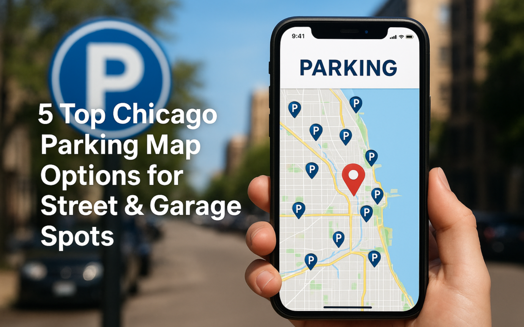
Anyone who’s driven around Chicago knows that finding a spot can feel like its own adventure, especially when you’re hungry and heading to dinner. Whether you’re visiting us at La Dolce Vita Cucina in Portage Park or exploring another part of the city, a reliable Chicago parking map can save you real time and frustration. Knowing where to park before you leave the house means you actually get to enjoy your evening instead of circling blocks.
Chicago’s parking system is a patchwork of metered streets, residential permit zones, garage facilities, and the occasional free spot if you know where to look. Rules change by neighborhood, and what works on the North Side won’t necessarily fly downtown. That’s exactly why having a solid map tool on your phone matters, it gives you zone details, pricing, and availability at a glance.
Below, you’ll find five of the best Chicago parking map options for locating street and garage spots across the city. Each one offers something a little different, from real-time meter tracking to garage rate comparisons. We’ve broken them down so you can pick the one that fits how you drive, and park without the headache next time you’re headed out for a meal.
1. ParkChicago Map
ParkChicago is the official City of Chicago parking app, built specifically for metered street parking. If you need a reliable, city-sanctioned chicago parking map for finding and paying for metered spots, this is the one to start with.
What this map is best for
ParkChicago works best when you’re targeting metered street parking across the city. It’s the go-to option for drivers who want to pay remotely and extend their session without returning to the meter. Neighborhoods like Portage Park, Lincoln Park, and the Loop are all covered through the app.
What you can see on the map
The map displays metered parking locations throughout Chicago’s neighborhoods, along with hours of operation and time limits for each zone. You can also view meter zone numbers tied to specific blocks, which makes starting a payment session straightforward once you’re parked.
How to use it step by step
- Download the ParkChicago app from your phone’s app store.
- Create an account and add your vehicle and payment information.
- Locate your parking zone and enter the zone number shown on the nearby meter sign.
- Select your duration and confirm payment.
- Extend your session remotely if you need more time.
Costs and payment options
Meter rates vary by neighborhood, typically ranging from $2.00 to $6.50 per hour depending on location and demand. Payments go through the app using a credit or debit card, so you don’t need coins.
ParkChicago adds a small convenience fee per transaction, so build that into your budget when comparing it to garage options.
Common pitfalls and how to avoid tickets
Always check the posted street signs before relying on the app alone, since temporary restrictions for street cleaning or construction override normal meter rules. Confirm your session is active in the app before walking away, because a delayed start is one of the most common reasons drivers receive tickets.
2. SpotAngels Chicago parking map
SpotAngels is a crowd-sourced parking app that layers community data on top of official city information, making it a strong complement to any chicago parking map tool you already use.

What this map is best for
SpotAngels works best for drivers hunting free or low-cost street parking in residential neighborhoods. It’s particularly useful when you want community-reported insights on spots that official city maps often miss.
What you can see on the map
The map shows street sweeping schedules and permit zone boundaries with time restrictions color-coded by block. You can scan quickly which spots are free during off-peak hours without opening a separate tool.
Check the color-coded overlays carefully before parking, since restrictions can shift block by block.
How to use it step by step
- Download SpotAngels from your app store.
- Enter your destination address.
- Filter results by free parking or permit zones.
- Tap a block to review time limits and posted restrictions.
Costs and payment options
SpotAngels is free to download and use. The app does not process parking payments directly, so you’ll still pay meters through ParkChicago or at the physical machine.
Common pitfalls and how to avoid tickets
Community data can lag behind real-time sign changes, so always read the physical street signs before leaving your car. Confirm that sweeping day restrictions shown in the app match what’s actually posted on the block.
3. City of Chicago residential zone lookup
The City of Chicago’s residential parking zone lookup is an official tool that lets you check whether a specific address falls inside a permit parking district. It’s the most accurate resource when you’re unsure if overnight or daytime parking on a residential street requires a permit.
What this map is best for
This tool works best when you’re visiting a residential neighborhood like Portage Park and need to confirm whether a block enforces permit-only rules. It fills a clear gap that a general chicago parking map won’t always cover.
What you can see on the map
You can look up zone boundaries and permit district numbers by entering any Chicago street address. Results show whether the block requires a residential permit and during which hours restrictions apply.
Cross-reference the zone number you find here with the physical signs posted on the block before parking.
How to use it step by step
- Visit the City of Chicago’s official data portal.
- Enter the street address you plan to park near.
- Review the zone designation and restriction hours returned.
Costs and payment options
The lookup tool is completely free to use with no account required.
Common pitfalls and how to avoid tickets
Zone boundaries sometimes shift at mid-block, so check the exact address rather than just the street name.
4. Chicago Parking Map for downtown garages
The Chicago Parking Map tool is built for drivers targeting covered garage parking in high-demand downtown areas. It aggregates garage locations across the Loop and River North so you can plan a spot before you pull into traffic.

What this map is best for
This map works best when you need a guaranteed covered spot in a dense area where street parking is scarce. It’s especially useful for evening dining or event trips when meters have limited hours anyway.
What you can see on the map
The map shows garage entrances, posted rates, and operating hours across downtown Chicago. You can scan multiple facilities at once instead of checking each garage individually.
Confirm operating hours directly with the garage before your trip, since some locations close earlier on weekends than on weekdays.
How to use it step by step
Use your destination address as your starting point, then sort nearby garages by rate and walking distance. Follow these steps:
- Enter your destination address into the map tool.
- Compare nearby garages by rate and proximity.
- Note the garage entrance before driving to avoid searching mid-block.
Costs and payment options
Downtown garage rates typically run $15 to $40 per evening depending on location and duration. Most facilities accept credit cards and mobile payments at exit kiosks.
Common pitfalls and how to avoid tickets
Check whether the garage is open to the public or reserved for monthly permit holders before driving in. Always review the posted maximum daily rate, since event pricing can push costs higher on busy nights.
5. ParkNav on-street availability map
ParkNav uses historical parking data to predict where open street spots are likely to be at your arrival time. Unlike real-time apps, it gives you a predictive advantage so you can plan your route before leaving home.
What this map is best for
ParkNav works best for drivers who want to plan ahead rather than search block by block in the moment. Use it when you’re heading to a busy neighborhood during peak dinner or event hours.
What you can see on the map
The map shows color-coded blocks indicating predicted availability by time of day. You can filter by your specific arrival window to spot which streets are historically open during that window.
How to use it step by step
- Enter your destination address into ParkNav.
- Set your planned arrival time.
- Review the color-coded blocks and choose your target street.
Costs and payment options
ParkNav is free to download and requires no paid subscription to access its core availability predictions.
Common pitfalls and how to avoid tickets
Predictions rely on historical patterns, so they won’t reflect live closures, events, or construction. Always check the posted street signs once you arrive on the block.
Treat ParkNav as a planning guide and use a real-time chicago parking map tool to confirm conditions on the actual day.

Plan your parking and enjoy your time out
Each of these five tools solves a different piece of Chicago’s parking puzzle. Use ParkChicago or SpotAngels for street meters and free spots, lean on the City’s residential zone lookup when you’re visiting a neighborhood like Portage Park, and rely on garage maps or ParkNav when you need a guaranteed spot during peak hours. Pulling up the right chicago parking map before you leave home cuts the circling and lets you walk in on time.
Once you’ve sorted your spot, the real evening begins. If you’re heading to Portage Park, reserve a table at La Dolce Vita Cucina and let dinner be the easy part. From homemade pasta to house-made gelato, the only thing you should be thinking about when you arrive is what to order, not where to park. Plan ahead, lock the car, and enjoy your night out.